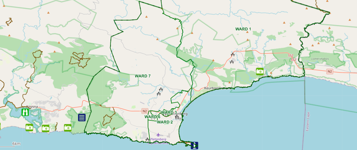
Shaun McMillan: Land Surveyor
Helping clients across Plettenberg Bay and the Garden Route with over 30 years of trusted land surveying experience.

The Art of Land Surveying
Land surveying is the science of determining the positions of points, as well as the distances and angles between them, as they are found in a particular geographical area. In layman’s terms, land surveyors measure and map the shape of the land. Land Surveyors gather data for civil engineering and construction projects to draw accurate site plans. I am able to advise professionally on all aspects of such. I enjoy working closely with my clients and making sure that their individual land surveying needs are met.
Our Key Land Surveying Services

Sectional Title Survey
Sectional Title involves the ownership of individual parts of a building. This can be a residential, commercial, or industrial building. Various areas in the building can be assigned for exclusive use to an owner. This division of a building allows for individual titles to be granted and traded.

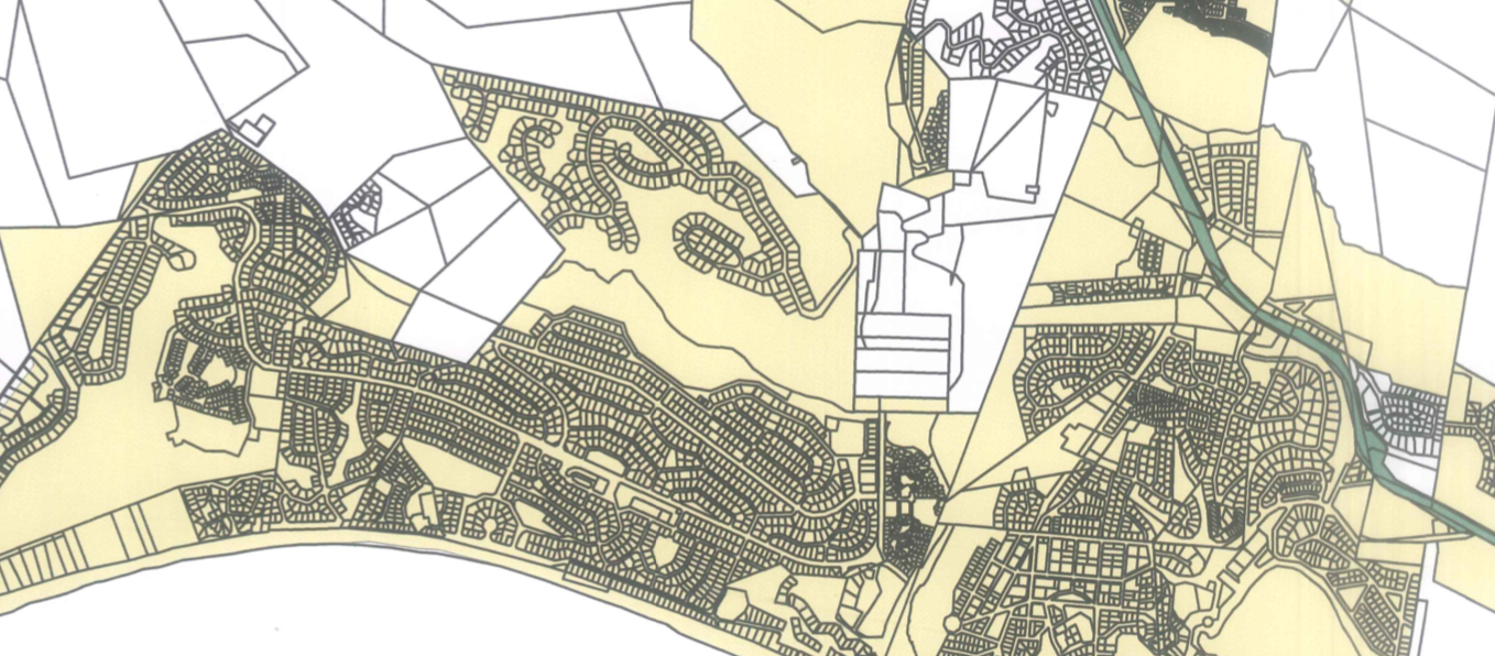
Topographical Surveys
Topographic surveys are often the initial survey done when a project is started. It is the spatial recording of all information that could be relevant to the design and construction of the project. The information often includes contours, roads, buildings, vegetation, services, etc.

Cadastral Surveys
Cadastral surveying involves matters to do with land ownership. Erven (plots) in urban areas and farms in rural areas can be subdivided, consolidated, or have servitudes and leases created or cancelled. All Title Deeds to land are based on cadastral surveys. Erf and farm beacons are also relocated and/or replaced using this system.
“Combining Mathematics and The Great Outdoors“